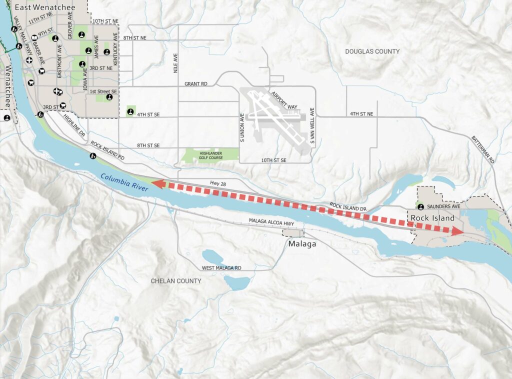
Rock Island to East Wenatchee Corridor
Snapshot: Extending the existing Apple Capital Loop Trail to the City of Rock Island is a priority for the City of Rock Island. The current trail runs adjacent to SR 28—a 50-mph two-lane state highway—and ends at Hydro Park, 3 miles southeast of downtown East Wenatchee and 6 miles west of Rock Island. The corridor is transitioning from agriculture to residential use with development occurring within the City of Rock Island and unincorporated Douglas County along SR 28 and Rock Island Road.
Previous Work
- Two recent studies identified conceptual alignments for this corridor. The draft SR 28 Corridor Plan identifies an alignment for a 12-foot-wide path on the south side of SR 28 within Washington State Department of Transportation right-of-way, and the City of Rock Island’s Loop Trail Integration Plan recommends a total of 11.3 miles of non-motorized pathways within the City of Rock Island and along SR 28. Public engagement efforts have shown support for extending the Loop Trail to Rock Island.
Click map to zoom